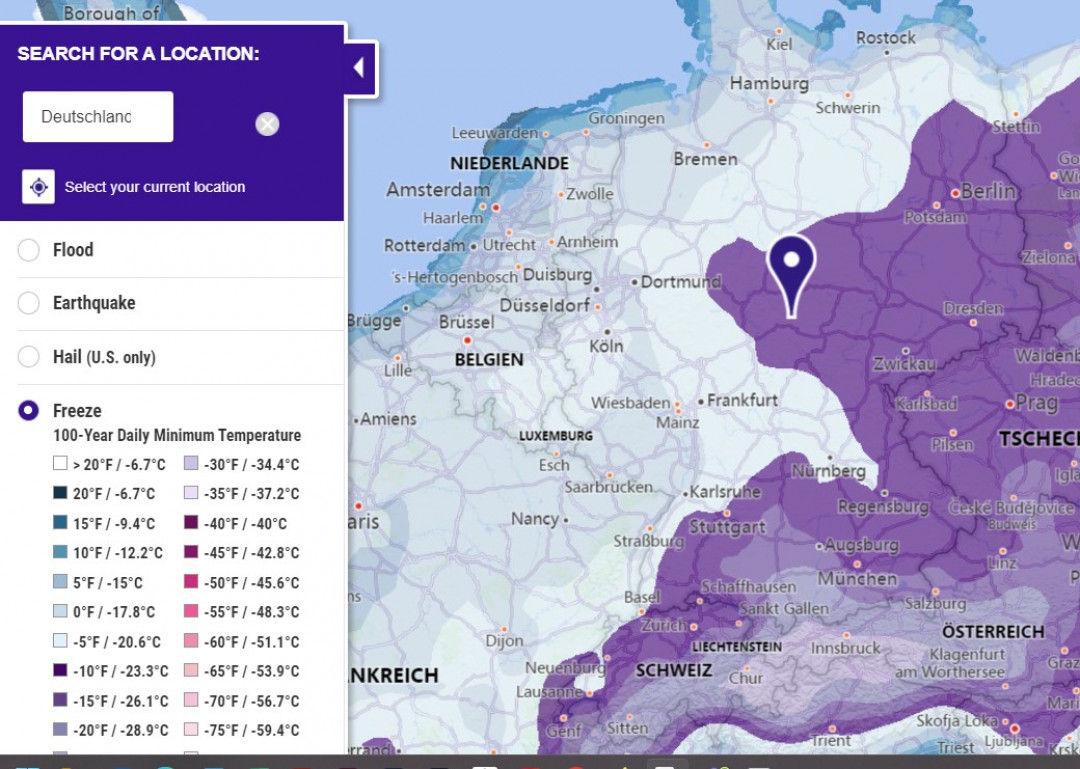
FM Global, a mutual insurance company, has developed interactive maps on natural hazards such as frost, floods and earthquakes. The maps, which are available free of charge, combine first-class and up-to-date information from all over the world.
Natural disasters can destroy buildings, disrupt supply chains and affect companies' operations. But there are measures to protect against them. NatHaz's Natural Disaster Toolkit offers numerous resources to help users prepare for and respond to earthquakes, floods, storms and other severe weather conditions. White papers, articles, videos and checklists from FM Global experts address the significant threat these hazards pose to businesses. Resilience is the answer. The NatHaz Toolkit can help make the right decisions.
The latest publication is a worldwide frost map. It is based on data on daily minimum temperatures at 100-year recurrence intervals, which companies can use to determine the necessary frost protection measures for plants and systems that are important to their operations. This includes, for example, pipelines and tanks, but also outdoor facilities that are at risk of freezing. If a temperature of 20 °F (-6.7 °C) or colder is given for a geographic region, there is clear evidence of a significant weather-related risk of frost damage for that region based on historical damage data and laboratory and field tests.

